Skip to the content
Search
Pohangina
Welcome to the valley
Menu
Facilities
County Fayre
Domain
Hall
Library
Old School
Churches
Cemetery
Pool
Groups
PVCC
Hauora Yoga Studio
Book Club
Awahou Playgroup
Gumboots and Coffee
Pohangina Catchment Care Group
Friends
Newsletter
Calendar
Search
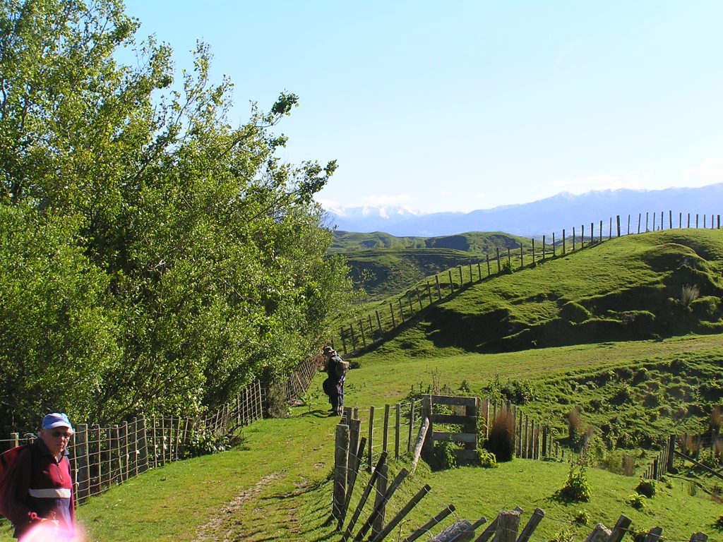
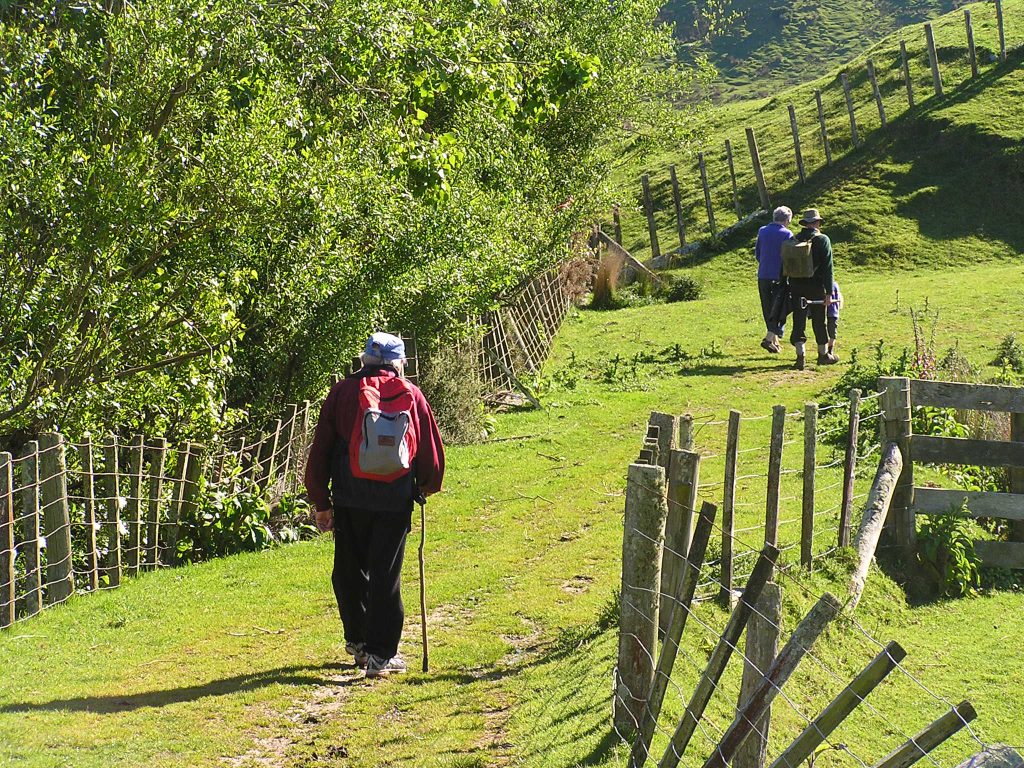
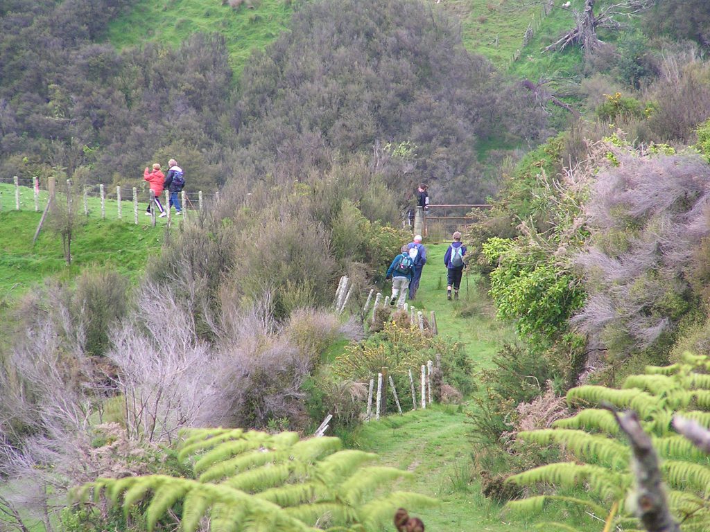
Branch Road Walkway
Details of walkway